How do you strategize the improvement of fleet road efficiency and profit when you have no point of comparison? You don’t.
You think, “my fleet vehicles have run smoothly on the same trusty routes for years! There is no comparison to make.”
Not until you try another route. Perhaps some things have changed in your fleet territory. Consider any alternative roads, changes to traffic laws. What about the new drivers on your team? Even if you are convinced that you have perfected the optimal routes and scheduling scheme for your fleet vehicles, you won’t know for sure until you compare live tracking data.
There could be significant improvements in fuel consumption, driver productivity, road safety and more, just waiting for you to discover with the help of geofencing technology and live tracking software. Compare and cash in. It’s simple.
Geofencing allows you to create virtual boundaries on a live tracking, web-accessed map, so that every time your GPS-tracked vehicles (or assets/ persons), enter or exit the perimeters, you receive an alert.
The GPS Commander web portal system gives you customizable options for boundary alerts:
• An instant pop-up alert on your computer screen.
• An email message sent to recipients of your choice.
• A different icon for the vehicle, asset, or person on map view.
These alerts can be reviewed in written reports, and the data shared amongst team members. And here’s where you can start reducing direct expenses such as fuel costs and insurance premiums: comparing the data.
Use data to benchmark internally. Compare performance today versus previous periods. Are you drivers following your trusty routes one hundred percent of the time? How does that alternative route stack up in fuel efficiency and traffic congestion? The data provides the answers.
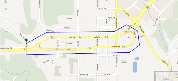
With the GPS Commander geofence feature, you have access to a range of boundary-driven data. The easy-to-use mouse-drawing tool lets you create circle or polygon geofences for general geographic areas, or route geofences to monitor devices on a designated path. Who said saving money had to be complicated?
Even the big guys keep it simple. As TelematicsUpdate.com contributor Greg Nichols says, “companies like Asplundh Tree and Coca-Cola, and highway fleets like Schneider and J.B. Hunt have all increased their margins by leveraging fleet data to shave inefficiencies from their processes.”
GPS Commander geofence technology and GPS tracking software comes together as a state-of-the-art solution that makes it easy for fleet companies of all sizes to compare and cash in.
Curious to know how your operations stack up? Discover optimal fleet productivity today with GPS Commander. Click here for an instant quote!
Reference
Nichols, Greg.“Benchmarking with fleet telematics.” 18 September 2012. TelematicsUpdate.com
0 Comments